The location of Pakistan is a very demanding topic. Students all around the globe study this in O-levels, and universities in Pakistan, too. This topic holds importance in the O-level Pakistan studies.
Understanding Pakistan’s location is essential for grasping its geopolitical importance, cultural diversity, climate, and historical role in global trade. Positioned at a strategic crossroads in Asia, Pakistan connects South Asia, Central Asia, and the Middle East, making it one of the most significant countries in the region from both geographical and economic perspectives.
This blog will cover everything about the location of Pakistan comprehensively. Its graphic coordinates, the culture, and the climate zones are the basis of this location. VACE Global is a hub of other educational resources and blogs covering different O-level subjects and complex concepts.
What is the location of Pakistan?
Pakistan is located in South Asia, stretching from the towering Himalayan and Karakoram mountain ranges in the north to the warm coastline of the Arabian Sea in the south. Its territory includes a wide variety of landscapes such as fertile river plains in Punjab, vast deserts in Sindh and Balochistan, rugged plateaus, and some of the world’s highest peaks in the north. This geographical diversity not only shapes the country’s climate and culture but also highlights its strategic position at the crossroads of South Asia, Central Asia, and the Middle East, making Pakistan a naturally important link in regional trade, travel, and geopolitical connectivity.
What is the location of Pakistan in Asia?
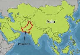
In Asia, Pakistan lies in the northwestern part of the South Asian subcontinent, positioned at a point where three major regions naturally converge. To the east, it connects with South Asia, sharing a long land border with India and remaining geographically close to Bangladesh and Sri Lanka through the Indian Ocean. To the northwest, Pakistan opens toward Central Asia, with Afghanistan serving as the primary gateway and the narrow Wakhan Corridor linking the region to countries like Tajikistan and beyond. To the west and southwest, Pakistan’s coastline along the Arabian Sea places it near the Persian Gulf, providing maritime access to the Middle East.
This tri-regional positioning makes Pakistan a strategic land and sea bridge, facilitating economic, cultural, and trade interaction between South Asia, Central Asia, and the Middle East.
Where is Pakistan located in the world?
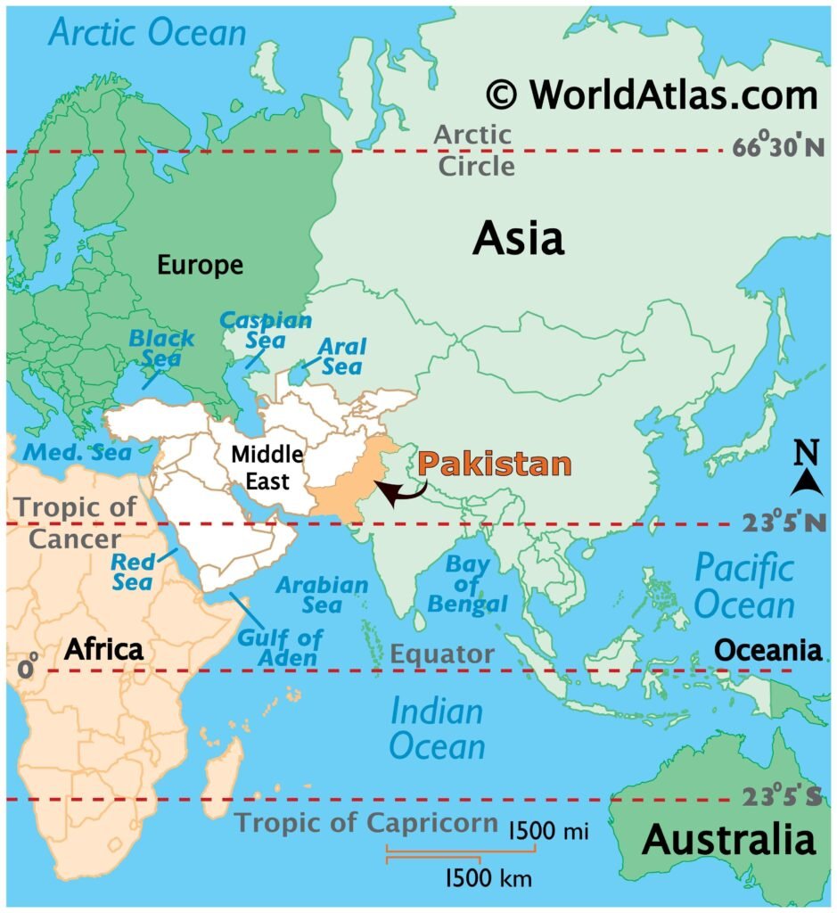
The location of Pakistan on he world map, Pakistan is located in the Eastern Hemisphere and positioned just above the equator in the Northern Hemisphere, giving it a geographical placement that has historically connected major civilizations. It stands at a global crossroads where South Asia, Central Asia, and the Middle East meet, regions that have shaped international politics, trade networks, migration routes, and cultural exchange for centuries.
Pakistan’s world location places it:
- East of the Middle East, close to important countries like Iran, Saudi Arabia, and the UAE.
- West of India and other South Asian nations form a natural western boundary of the subcontinent.
- South of Central Asia, including China, Afghanistan, and the Central Asian Republics.
- North of the Arabian Sea, giving it a strategic maritime position along major global shipping routes.
Because of this placement, Pakistan serves as a crucial global transit point. The development of Gwadar Port further enhances its importance by offering one of the shortest deep-sea access routes for China and Central Asian states, enabling trade connections between Asia, Africa, the Middle East, and Europe. This strategic location strengthens Pakistan’s role in international trade corridors, energy routes, and regional logistics.
Countries that share borders with Pakistan:
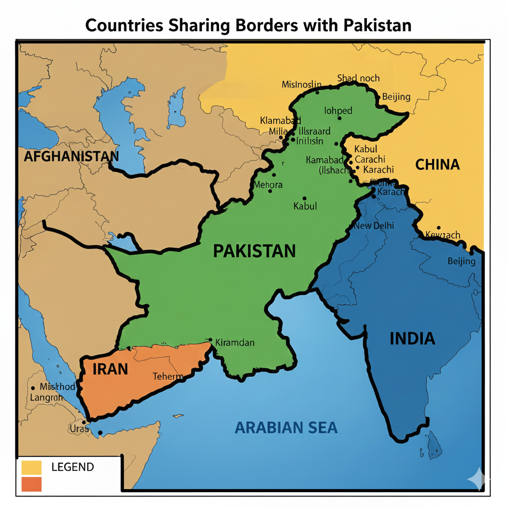
Pakistan shares its international borders with four countries, and these connections highlight the strategic location of Pakistan in the region:
1. India (East)
This is Pakistan’s longest border, known as the Radcliffe Line, stretching across Punjab and Sindh. It passes through major cultural and agricultural regions and includes the famous Wagah, Attari border crossing, an important point for limited trade and ceremonial exchanges.
2. Afghanistan (Northwest)
The border with Afghanistan, called the Durand Line, runs through rugged mountains and tribal areas. It provides Pakistan with its primary land access to Central Asia, historically used for trade caravans and modern transit routes.
3. Iran (West)
Pakistan’s border with Iran lies mostly in Balochistan and is vital for energy cooperation, cross-border trade, and cultural relations, reflecting long-standing historical ties between the two regions.
4. China (Northeast)
Pakistan shares a high-altitude border with China in Gilgit-Baltistan, surrounded by some of the world’s highest mountain ranges. The two countries are connected through the iconic Karakoram Highway, a major trade corridor that forms a key part of the China-Pakistan Economic Corridor (CPEC).
Terms with the Neighbouring countries:
Pakistan maintains a variety of formal and informal agreements with its neighbouring countries, shaping regional cooperation, trade, and security. These terms help strengthen diplomatic relations and allow Pakistan to benefit economically, strategically, and culturally from its geographic position.
- Pakistan–China Terms
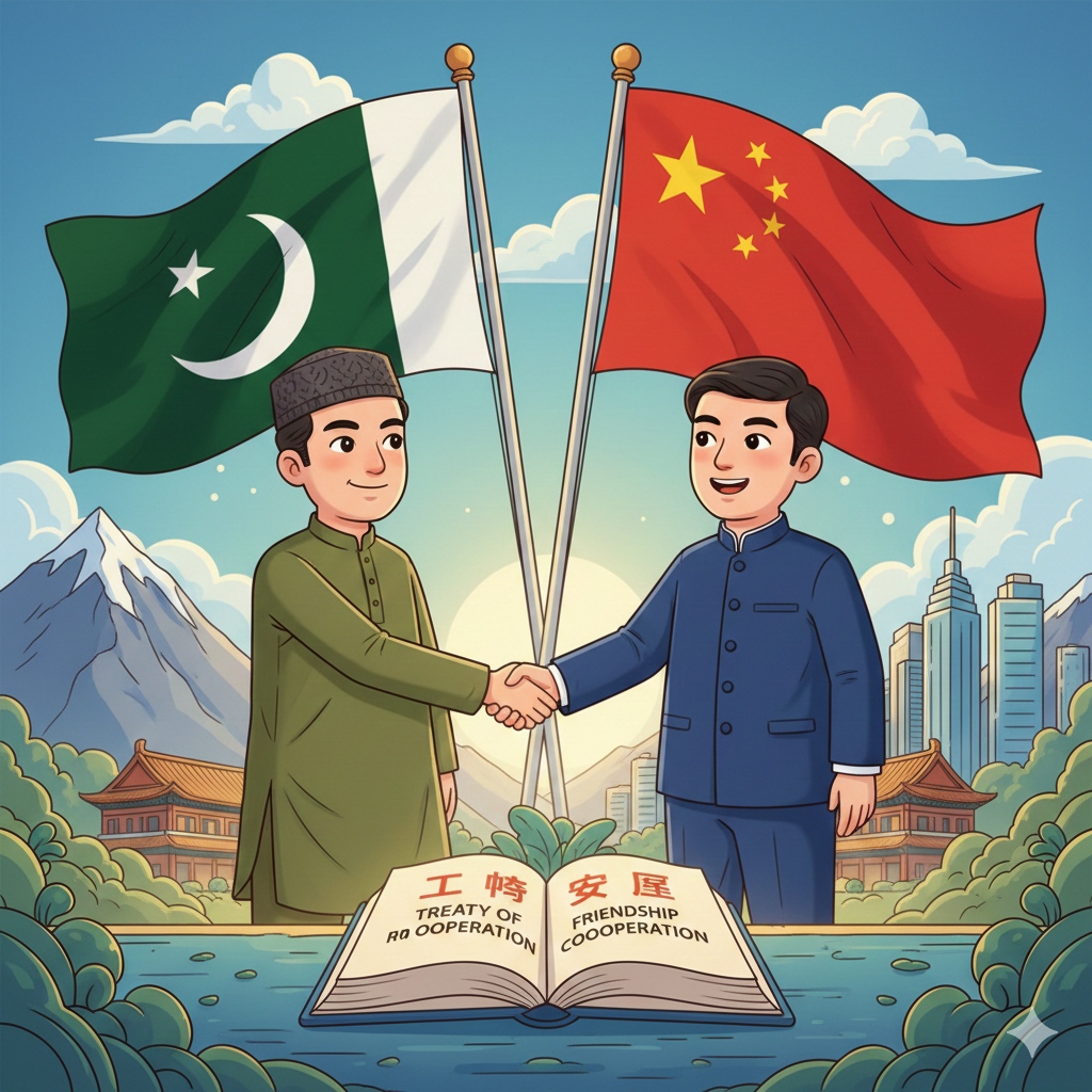
Pakistan and China share one of the strongest bilateral partnerships in the region. The most significant agreement is the China-Pakistan Economic Corridor (CPEC), which enhances trade, infrastructure development, and energy cooperation. Through CPEC, Pakistan gains improved transportation networks, investment opportunities, and access to global markets via strategic corridors.
- Pakistan–Iran Cooperation
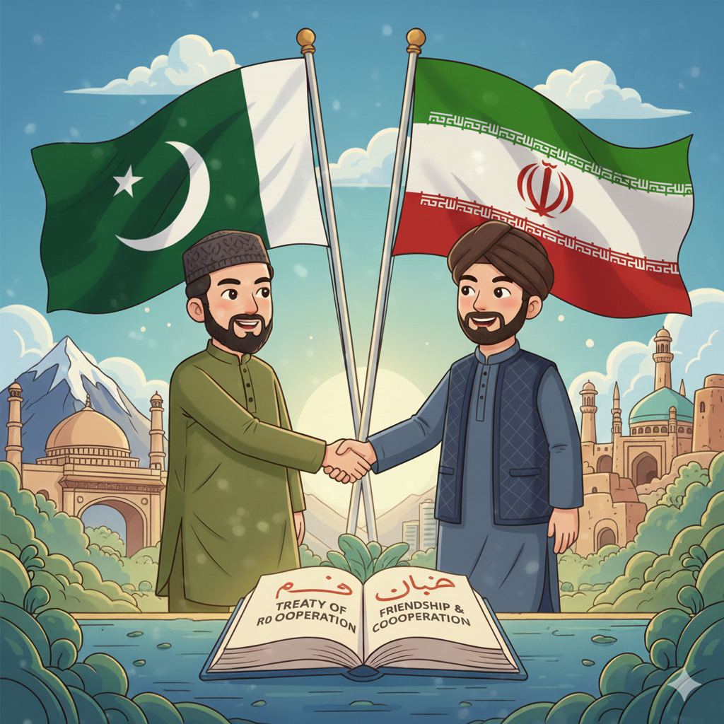
Pakistan and Iran have agreements focused on trade, border security, and energy, including the ongoing Iran–Pakistan Gas Pipeline project. This pipeline aims to provide Pakistan with a stable energy supply, reducing its reliance on expensive imports.
- Pakistan–Afghanistan Arrangements
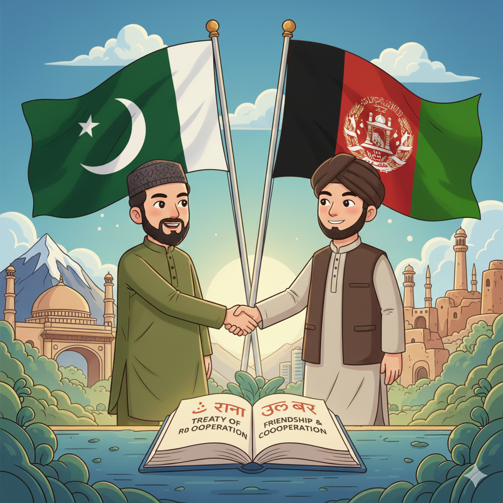
With Afghanistan, Pakistan works under various border management and transit trade agreements, including the Afghanistan–Pakistan Transit Trade Agreement (APTTA). This treaty allows Afghanistan access to Pakistani seaports and facilitates cross-border trade. In return, Pakistan benefits from transit fees and strengthened economic ties with Central Asia.
- Pakistan–India Terms
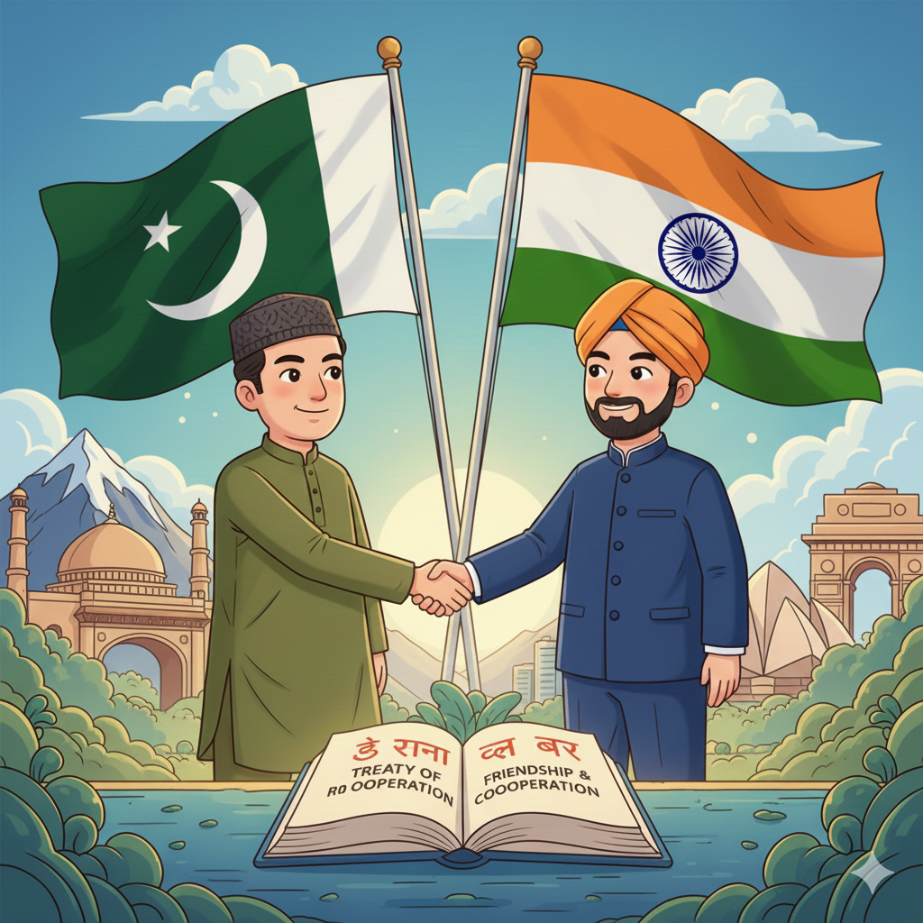
Although relations remain sensitive, both countries adhere to several key agreements. One of the most notable is the Indus Waters Treaty (1960), brokered by the World Bank, which ensures the fair distribution of the Indus River system. Despite political tensions, this treaty has remained effective and is considered one of the most successful water-sharing agreements in the world.
The graphic coordinates of Pakistan:
The geographic coordinates of Pakistan are:
- Latitude: 23° to 37° North
- Longitude: 60° to 77° East
These coordinates position Pakistan squarely within the northern subtropical zone, giving the country a wide range of climates. The northern areas lie close to the high-altitude Himalayan and Karakoram ranges, resulting in cold winters and alpine conditions. In contrast, the southern regions near the Arabian Sea experience warm coastal weather, creating a natural climatic gradient from north to south.
The importance of the location of Pakistan:
Pakistan’s location is not just a matter of geography; it plays a crucial role in shaping the country’s strategic, economic, and cultural significance. Its position at the crossroads of South Asia, Central Asia, and the Middle East gives it unique advantages in diplomacy, trade, security, and regional connectivity. The importance of Pakistan’s location can be highlighted through several key aspects:
1. Geopolitical Importance:
Pakistan’s proximity to major powers such as China, India, Iran, and Afghanistan places it at the center of regional security and diplomatic strategies. Its location allows Pakistan to influence trade routes, political alliances, and peace negotiations in South and Central Asia.
2. Trade and Transit Hub:
Located near the Arabian Sea, Pakistan offers the shortest maritime access for China and Central Asian states, making it a key transit point for regional trade. Ports like Gwadar and Karachi enhance Pakistan’s role in international commerce and supply chains.
3. Defense and Security:
Pakistan’s borders are fortified by high mountain ranges in the north and northwest, and a strategic coastline along the Arabian Sea. This natural terrain provides defensive advantages while also supporting the country’s military logistics and regional security planning.
4. Energy Corridors:
Pakistan serves as a vital link for regional energy pipelines, including the Turkmenistan-Afghanistan-Pakistan-India (TAPI) project. Its location allows it to facilitate the transport of natural gas and energy resources, contributing to regional economic stability and energy security.
Location of Pakistan and climate zones:
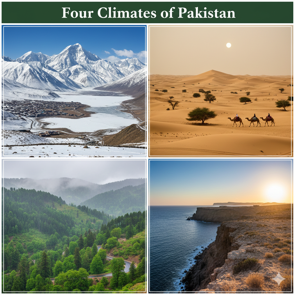
Because of its north-south stretch and diverse landforms, Pakistan gets to experiences four different climate zones:
1. Arid and Semi-Arid Deserts (Sindh, Balochistan)
The deserts of Sindh and Balochistan, including the Thar Desert, experience extremely hot summers, mild winters, and very low rainfall. People in these regions cope with the harsh climate by building thick-walled homes, using mud-brick construction for insulation, and wearing light, breathable clothing to protect against heat. Water conservation techniques, such as underground tanks and wells, are commonly used due to scarce rainfall.
2. Subtropical Plains (Punjab)
The Punjab plains have a subtropical climate with hot summers, mild winters, and seasonal monsoon rains. Agriculture thrives here thanks to the fertile land and irrigation from the Indus River system. People adapt by using light clothing in summer, storing water during dry periods, and adjusting work hours to avoid the midday heat.
3. Temperate Highlands (Khyber Pakhtunkhwa)
The highlands of Khyber Pakhtunkhwa have a temperate climate, with moderate summers and cold winters, and heavier rainfall in some areas. Locals cope with winter chills using wood or coal heating, layered clothing, and homes designed to retain heat, while summer is relatively comfortable for outdoor activities.
4. Cold Alpine Climate (Gilgit-Baltistan)
The northern regions of Gilgit-Baltistan experience a cold alpine climate, with long, harsh winters and heavy snowfall, and short, cool summers. People living here use thick woolen clothing, insulated homes, and heating with wood or gas stoves. The climate also influences their lifestyle, with transportation and agriculture adjusted according to seasonal snow and ice conditions.
How the location affects culture and trade:
The location of Pakistan at the crossroads of South Asia, Central Asia, and the Middle East has deeply influenced both its cultural heritage and economic activities. This strategic position has enabled the blending of diverse traditions while also establishing Pakistan as a key hub for regional and international trade.
Culture
Pakistan’s location at a historical crossroads has made it a melting pot of diverse cultures and civilizations. Over centuries, the region absorbed influences from:
- Central Asia: Turkic and Persian cultures introduced art, music, administrative systems, and architectural styles that still resonate in northern and western Pakistan.
- South Asia: The ancient Indus Valley Civilization and later Mughal traditions contributed to rich urban planning, cuisine, literature, and classical arts.
- Middle Eastern Islamic Culture: Islamic traditions shaped religion, language, festivals, and daily life, integrating seamlessly with local customs.
This fusion is reflected in Pakistan’s languages, traditional clothing, culinary diversity, and architectural heritage, making its culture uniquely layered and vibrant.
Trade
Pakistan’s strategic position and access to the Arabian Sea, through major ports like Gwadar and Karachi, make it a critical hub for regional and global trade. Key trade connections include:
- China: Goods transported via the China-Pakistan Economic Corridor (CPEC) strengthen bilateral trade and logistics.
- Afghanistan: Land routes facilitate cross-border trade and transit access to Central Asia.
- Central Asian Republics: Pakistan serves as a gateway for imports and exports, linking landlocked nations to international markets.
- Middle Eastern Countries: Maritime routes enable trade of energy, textiles, and agricultural products.
The CPEC corridor further enhances Pakistan’s global connectivity, turning it into a central node for international trade, energy pipelines, and regional economic integration.
Conclusion:
The location of Pakistan is one of the country’s greatest strengths. Positioned at the intersection of major regions, South Asia, Central Asia, and the Middle East, Pakistan holds significant geopolitical, economic, cultural, and strategic value. From its diverse climate zones to its role in global trade routes, Pakistan’s location continues to shape its identity, opportunities, and global relevance.
For students in Pakistan who want to understand these geographical and regional dynamics more deeply, VACE Global offers expert-led online tutoring, including access to an expert Pakistan Studies teacher who explains complex topics simply and engagingly. Whether you’re preparing for O Level or A Level exams, VACE Global provides personalised learning, exam-focused guidance, and flexible short courses designed to boost your academic performance.
Enroll today and start learning with top-qualified tutors who help you excel confidently!
FAQs:
1. Where exactly is Pakistan located?
Pakistan is located in South Asia, north of the Arabian Sea, and shares borders with India, China, Afghanistan, and Iran.
2. What are the coordinates of Pakistan?
The geographic coordinates range from 23°N to 37°N latitude and 60°E to 77°E longitude.
3. Why is the location of Pakistan important?
Its location connects South Asia, Central Asia, and the Middle East, making it a strategic trade and geopolitical hub.
4. Which countries border Pakistan?
India, China, Afghanistan, and Iran.
5. Does Pakistan have access to the sea?
Yes, Pakistan has a coastline along the Arabian Sea, including major ports like Karachi and Gwadar.